Current Water Levels at New Mexico’s Major Reservoirs
It's incredibly frustrating to plan a New Mexico fishing trip, only to arrive at your favorite reservoir and find the water levels drastically different than expected. Whether it's a ramp too shallow to launch your boat or prime fishing spots now high and dry, understanding current water levels is absolutely crucial for a successful day on the water. This guide will walk you through why these levels matter, give you a snapshot of what's happening at New Mexico's major reservoirs, and help you adapt your fishing strategy accordingly.
Why Reservoir Water Levels Matter So Much for Fishing
Water levels in New Mexico's reservoirs are constantly in flux, influenced by snowmelt, rainfall, irrigation demands, and even upstream releases. These changes aren't just cosmetic; they profoundly impact everything from fish behavior to angler access and safety. Ignoring them is like trying to navigate a new city without a map – you're bound to get lost or miss out on the best spots.
Impact on Fish Behavior and Habitat
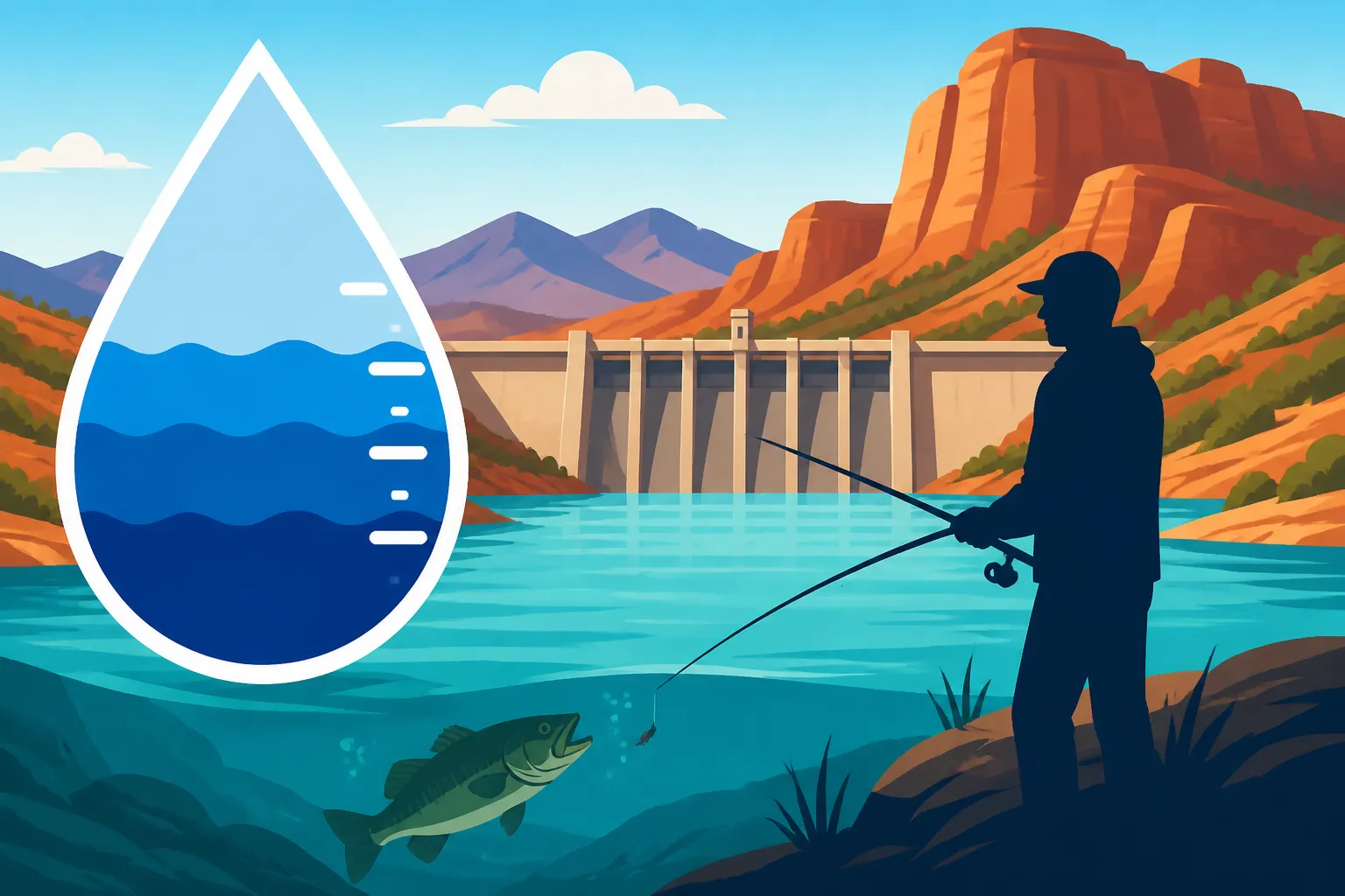
Think of a reservoir as a dynamic ecosystem. When water levels rise or fall significantly, the entire environment shifts. Fish, being creatures of habit and survival, react to these changes immediately. For instance, during periods of low water, fish tend to concentrate in deeper channels, around remaining structure, or near creek mouths where fresh water might be entering. This can make them easier to locate if you know where to look, but it also means their prime feeding grounds might have shrunk, increasing competition for food.
Conversely, when water levels are high or rising, fish often disperse. They'll move into newly flooded vegetation, along submerged banks, or explore new cover that was previously dry land. This expansion of habitat can make them harder to pinpoint, as they have more places to hide and more territory to roam. Spawning areas can also be affected; low water might expose beds, while high water can create new, less oxygenated, or too-turbid environments. Understanding these behavioral shifts is key to knowing where to cast your line and what tactics to employ. You can also dive deeper into How Low Water Levels Change Where Fish Hold for more specific insights.
Safety and Access Considerations
Beyond the fish, water levels directly impact the human element of fishing: safety and access. Imagine driving for hours to Elephant Butte Lake, only to find the boat ramp you planned to use is now a quarter-mile of cracked mud. This scenario is all too common when water levels drop significantly. Low water exposes hidden hazards like submerged stumps, rock piles, and sandbars that can quickly damage a prop or even strand your boat. Navigation becomes trickier, requiring extra vigilance and often a slower pace.
Bank anglers aren't exempt from these challenges either. A receding shoreline can mean a long, muddy trek to reach the water's edge, or it might expose steep, unstable banks that are unsafe to navigate. Conversely, very high water can submerge parking areas, campgrounds, or popular shoreline fishing spots, limiting your options for setting up. Always check current conditions before heading out, especially if you plan to launch a boat or explore new areas. Reputable charter services found on platforms like FishingBooker often have up-to-date local knowledge regarding safe access points and current conditions, which can save you a lot of hassle.
Real-Time Look at New Mexico's Major Reservoirs and Their Water Levels
Getting a handle on the "current" water levels for New Mexico's vast network of reservoirs is a moving target, as conditions can change weekly, or even daily, depending on weather and management. However, we can look at recent trends and typical patterns to give you a good idea of what to expect from some of the state's most popular fishing destinations.
Elephant Butte Lake: The Striper Capital
Elephant Butte Lake, New Mexico's largest body of water, is legendary for its striped bass, white bass, and various catfishes. Historically, this reservoir has seen dramatic fluctuations, and it's not uncommon for levels to be significantly lower than in past decades due to drought conditions and water demands from the Rio Grande. As of late, Elephant Butte has generally been at lower levels compared to its full capacity, which means boat ramps are often extended, and specific launch points might be restricted or closed.
These lower levels can concentrate fish, particularly striped bass, into the main channels and around deeper points, making them more predictable for anglers targeting them. However, it also means that many structures that were once productive in higher water are now exposed. Access to certain coves or fishing areas might require a shallower draft boat or a longer walk for bank anglers. Always check the specific state park website for current ramp conditions before you go, and consider exploring some of the Best Bank Fishing Spots on Elephant Butte Lake if boat access is limited. For those interested in its primary game fish, understanding the Best Time of Year to Catch Striped Bass at Elephant Butte often involves factoring in these water level patterns.
Navajo Lake: Cold Water Trout and Kokanee
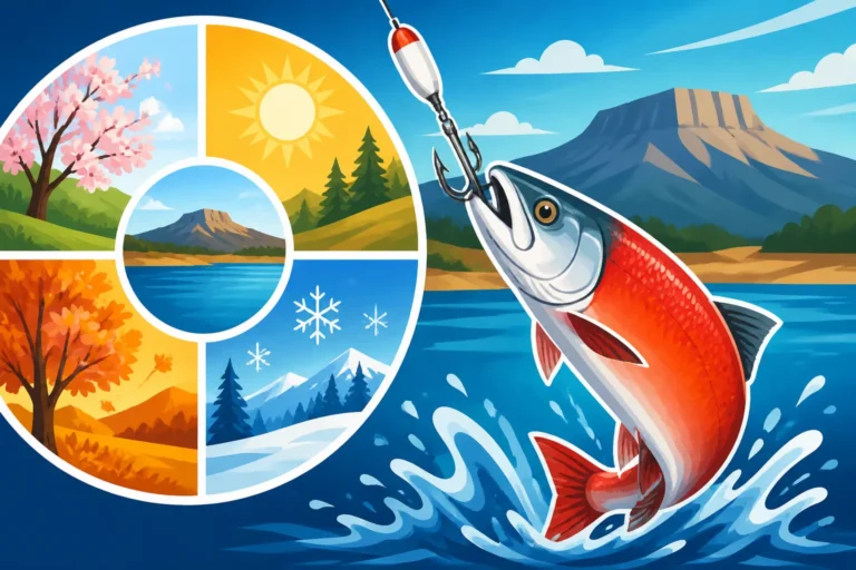
Up in the northwest corner, Navajo Lake offers a stark contrast with its cooler waters and excellent trout and kokanee salmon fishing. This reservoir is generally more stable than Elephant Butte due to its primary role in water storage and the regulated flows of the San Juan River. However, even Navajo experiences variations based on snowpack and irrigation needs. When levels are good, you'll find plenty of access for both boat and bank fishing, and the kokanee schools thrive.
If water levels drop significantly here, it can affect kokanee spawning habits and concentrate trout in deeper thermal refuges. Shallow coves that once held trout might become less productive. Conversely, strong inflows from snowmelt can raise levels, creating excellent new feeding grounds for trout along the shoreline. Many anglers flock to the area to experience the fantastic fishing in the main lake or the renowned San Juan River Fishing Guide downstream. For a comprehensive overview of fishing in this area, check out our Navajo Lake Fishing Guide.
Heron Lake: Quiet Waters for Kokanee
Known for its peaceful, no-wake zones and beautiful kokanee salmon fishery, Heron Lake is a favorite for many anglers seeking a tranquil experience. Water levels here are primarily controlled by diversions from the Rio Chama, and while generally stable, they can fluctuate. Healthy water levels mean easy access to boat ramps and good distribution of kokanee throughout the lake.
When Heron Lake levels are on the lower side, some of the shallower channels and coves that kokanee frequent might become less accessible. The no-wake rules are in place for safety and to preserve the calm, but changing depths can sometimes alter how fish relate to specific structures or drop-offs. Anglers targeting kokanee need to adjust their trolling depths and look for schools in areas with stable thermoclines. FishingBooker lists several local guides who specialize in Heron Lake and can provide invaluable advice on navigating these conditions. You can read more about this tranquil fishery in our dedicated Heron Lake Fishing Guide.
Conchas Lake: Walleye and Crappie Hotspot
Conchas Lake, nestled in the plains of eastern New Mexico, is a popular destination for walleye, crappie, and bass. Its water levels are heavily influenced by the Canadian River and local rainfall, leading to periods of significant rise and fall. When the lake is full or near full, the extensive shoreline and numerous coves provide ample habitat and fishing opportunities for various species.
However, Conchas can also experience extended periods of lower water, which dramatically changes the game. Submerged roadbeds, old foundations, and rocky points become visible, offering new insights into fish-holding structure but also creating navigational hazards for boaters. Walleye and crappie, in particular, relate strongly to structure, so understanding how exposed or submerged these features are is crucial. High water can flood new areas, pushing baitfish into the newly inundated vegetation, and subsequently, predatory fish will follow. For those looking to master the tactics for this lake, our Conchas Lake Fishing Guide offers a wealth of information. Learning How to Fish Deep Structure at Conchas Lake becomes even more critical during these fluctuating times.
Where to Find Up-to-the-Minute Data
Relying solely on word-of-mouth or outdated reports can lead to disappointment. For the most accurate and up-to-the-minute water level information, you need to go directly to the source. The U.S. Geological Survey (USGS) and the U.S. Bureau of Reclamation (USBR) are your best friends here. Their websites provide real-time data, including current lake elevations, inflow/outflow rates, and historical data, for most major reservoirs in New Mexico.
Additionally, the New Mexico Department of Game and Fish (NMDGF) often posts relevant information and updates on their website, sometimes with specific alerts regarding access or conditions. State Park websites, such as those for Elephant Butte Lake State Park or Navajo Lake State Park, are excellent for checking boat ramp status and any closures. Bookmark these sites on your phone or computer, and make it a habit to check them within a day or two of your planned trip. This small step can save you a lot of grief and ensure you have the most informed and enjoyable fishing experience.
Adapting Your Fishing Strategy to Current Water Conditions
Successful angling in New Mexico often means being flexible. The state's dynamic environment demands that you adapt your approach based on what the water levels are doing. What worked perfectly last month might be entirely ineffective today.
Techniques for Low Water Conditions
When water levels are low, fish, especially species like bass, walleye, and striped bass, tend to concentrate in predictable areas. Look for deeper channels, the mouths of creeks that are still flowing (even if barely), and any remaining submerged structure like old riverbeds, rock piles, or isolated brush. These become "fish magnets" because they offer the deepest water, cooler temperatures, or crucial cover. Anglers often find success by slowing down their presentation, fishing jigs, or plastics right on the bottom, or targeting shaded areas with vertical presentations.
Bank anglers can capitalize on low water by accessing areas that are usually too deep to reach from shore. Scout for exposed features that drop off quickly into deeper water. However, be mindful of soft, muddy banks and always prioritize safety. If you're planning a trip during a dry spell, consider reading up on Fishing New Mexico During Drought Years to better prepare. For those without a boat, targeting shorelines near old river channels or points that extend far out can be highly productive.
Strategies for High or Rising Water
High or rising water presents a completely different challenge and opportunity. As new areas flood, fish disperse to explore the fresh cover and potential food sources. This means fish might be found closer to the newly submerged shoreline, in flooded timber, or around fresh grass and bushes. The key here is to "follow the food." Baitfish will move into these new, protected areas, and the predators will follow.
Your tactics should shift to cover more water and target these newly flooded areas. Topwater lures, spinnerbaits, and shallow-running crankbaits can be incredibly effective around flooded vegetation. Flipping and pitching jigs or soft plastics into submerged bushes can also yield big results, especially for bass. Look for areas where new water has created a distinct "water line" with fresh cover. Be aware that rising water can also mean increased turbidity (murky water), so brighter, louder lures or baits with strong scent might perform better.
Gear Adjustments and Safety Tips
Beyond tactics, your gear might need adjustments. In low, clear water, lighter line and more subtle presentations may be necessary. For murky, rising water, heavier line, stronger hooks, and more vibration-heavy lures could be the ticket. Always carry a variety of baits and lures to match the conditions. Consider bringing longer rods for bank fishing during low water to cast further or reach deeper drops, or a robust spinning setup for covering lots of water with cast-and-retrieve techniques.
Safety is paramount, regardless of water levels. For boaters, low water means a heightened risk of striking submerged objects. Always pay attention to your depth finder and GPS, and proceed slowly in unfamiliar areas. High water can bring debris, logs, or other hazards, especially in areas with current. Always wear your life jacket, let someone know your float plan, and carry appropriate safety equipment as outlined in our New Mexico Boat Registration and Titling Guide. Even if you're going with a guide, like one you might find through FishingBooker, it's wise to be prepared and understand the conditions.
| Reservoir | Primary Fish Species | Recent Water Level Trend | Impact on Fishing/Access |
|---|---|---|---|
| Elephant Butte Lake | Striped Bass, Walleye, Catfish | Generally lower/stable | Concentrates fish in deeper channels; limits some boat ramp access. |
| Navajo Lake | Trout, Kokanee Salmon | Stable to slightly fluctuating | Good access, but changes can affect kokanee spawning/trout depth. |
| Heron Lake | Kokanee Salmon, Trout | Stable | Good overall, but lower levels can impact shallow coves. |
| Conchas Lake | Walleye, Crappie, Bass | Highly variable | Exposes/submerges structure; impacts access based on extreme lows/highs. |
| Ute Lake | Walleye, Bass, Crappie | Stable to moderate fluctuation | Usually good access; fish relate to varying depths. |
Remember that official New Mexico fishing season dates and limits are crucial to follow, so always check the latest regulations. The New Mexico Fishing Season Calendar is updated annually and available through the NMDGF website, which should be consulted along with these water level considerations.
Disclaimer
Please remember that fishing conditions and water levels can change rapidly. The information provided in this guide is based on general trends and publicly available data and should be used for informational purposes only. Always consult the most current official resources from the New Mexico Department of Game and Fish, U.S. Geological Survey, U.S. Bureau of Reclamation, and relevant State Park websites before planning your fishing trip to ensure you have the latest and most accurate information.